Yearly Archives: 2021

2021 in Review


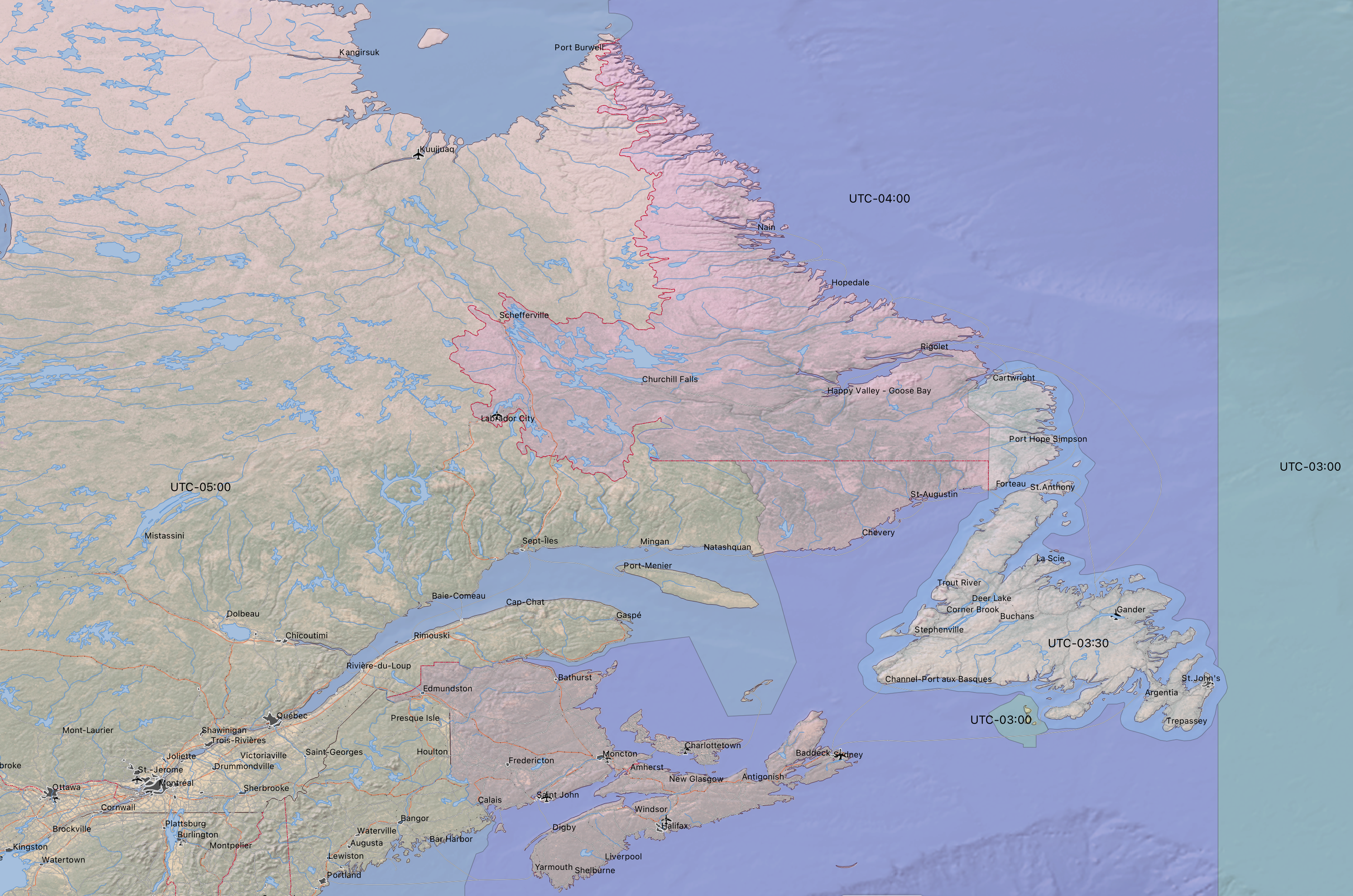
Previous Years: 2020, 2019, 2018, 2017, 2016, 2015, 2014, 2013, 2012, 2011
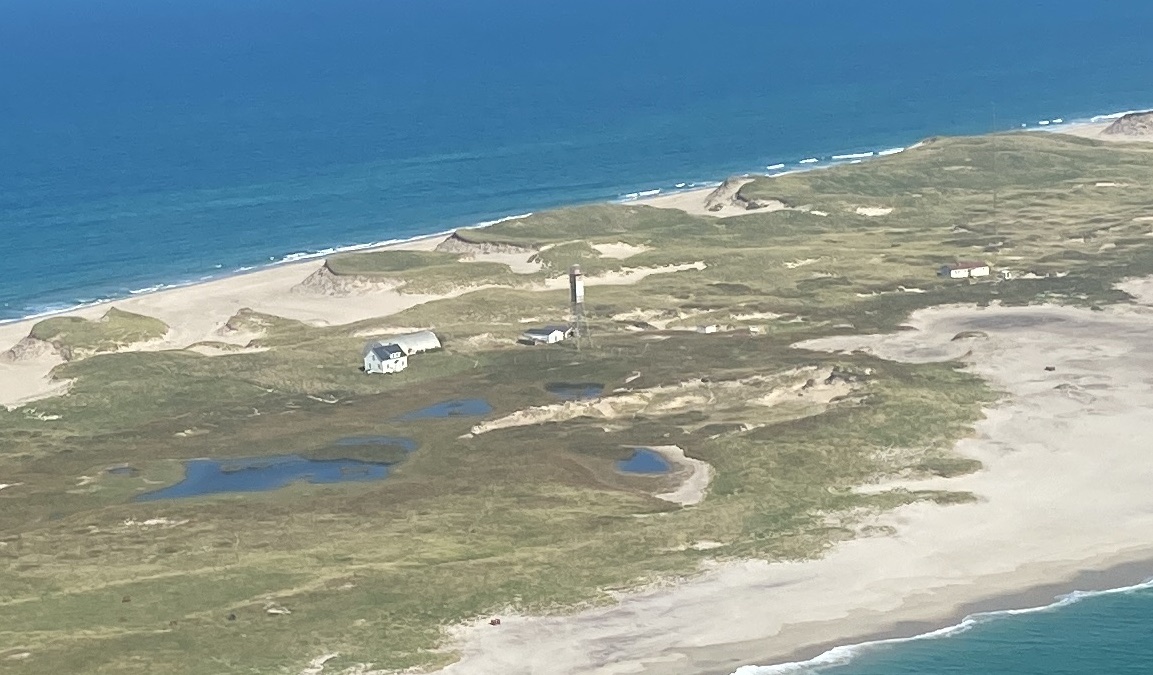
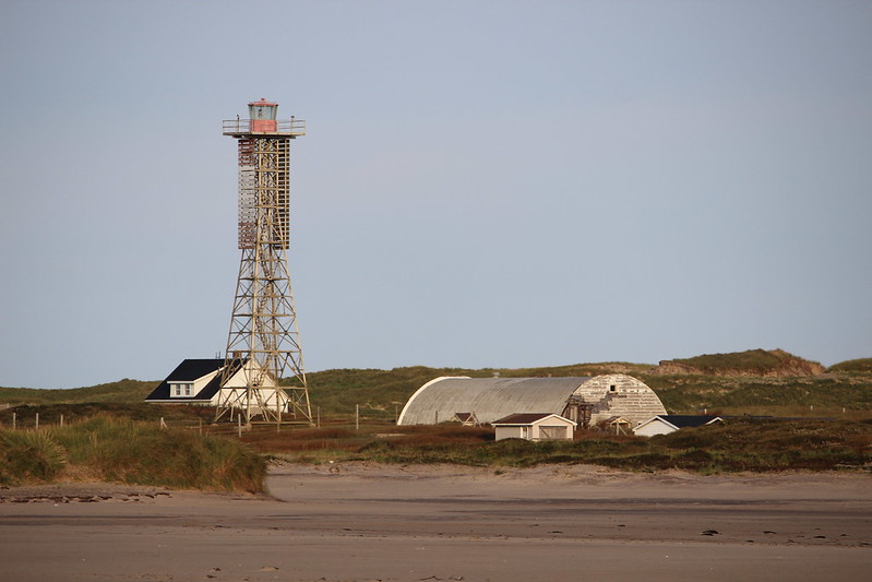
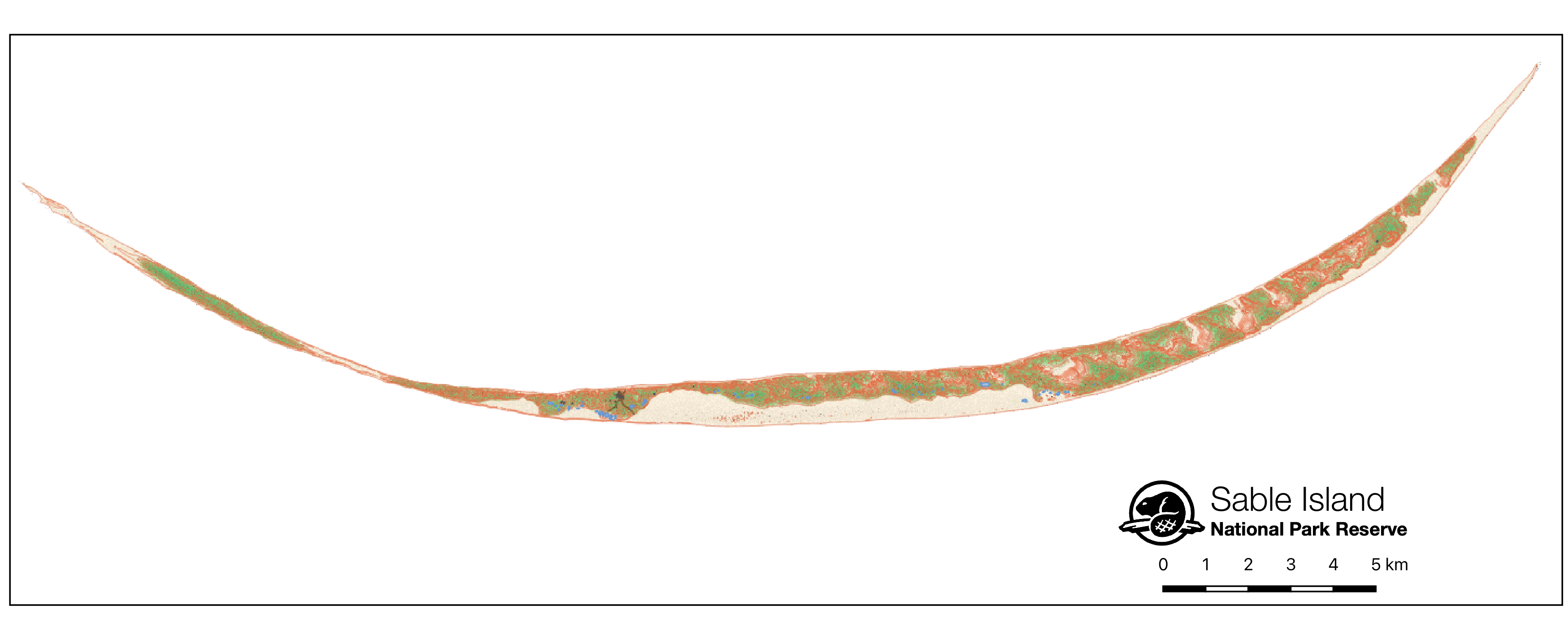
2021 was a bit of a slow year. I spent a Week on Sable Island (more)

Port News

The cruise season was canceled. Halifax Fire’s new Fire boat arrived, and Theodore Tugboat moved to Hamilton.

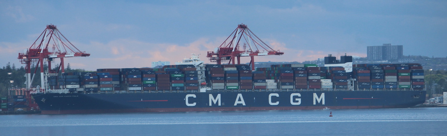
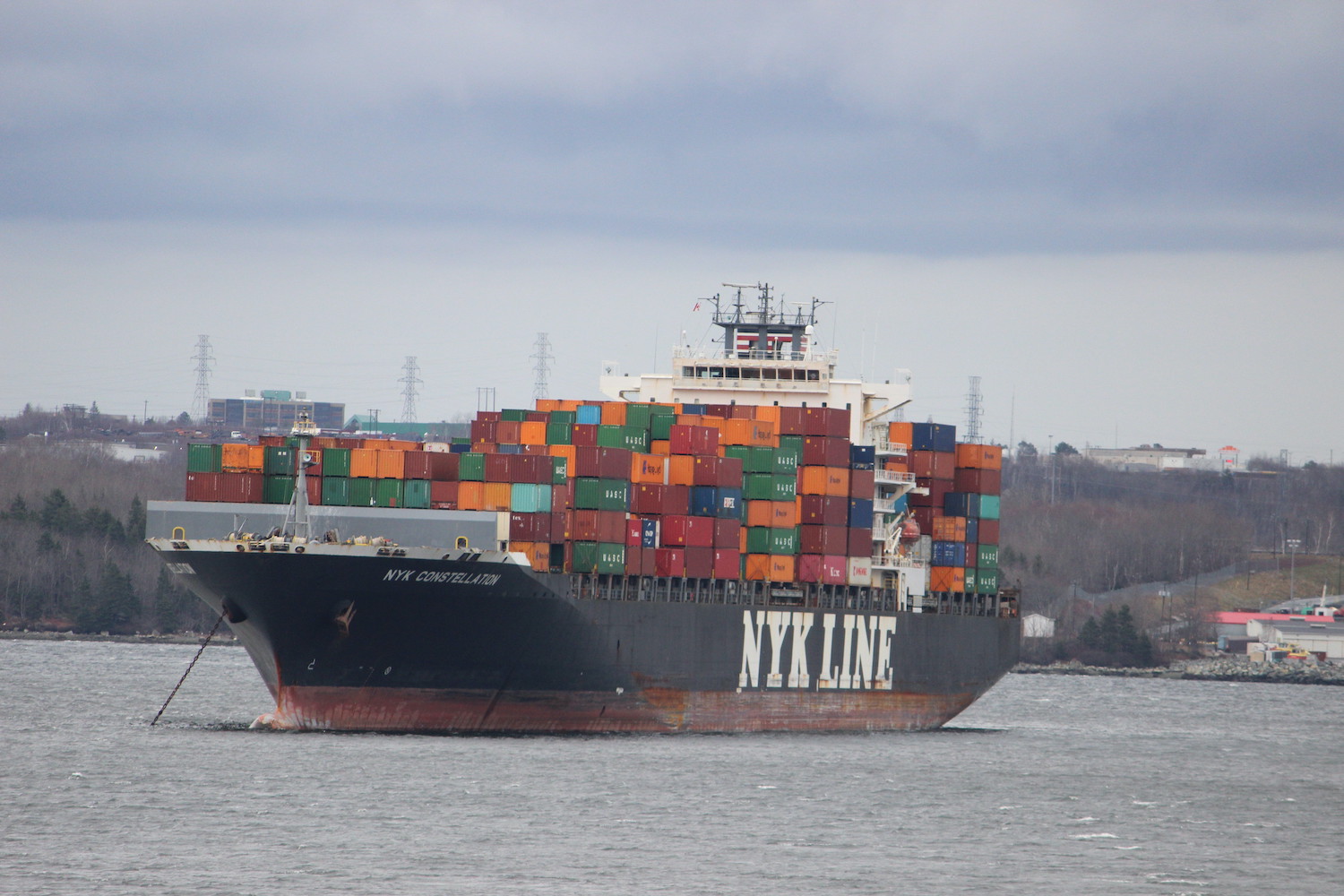
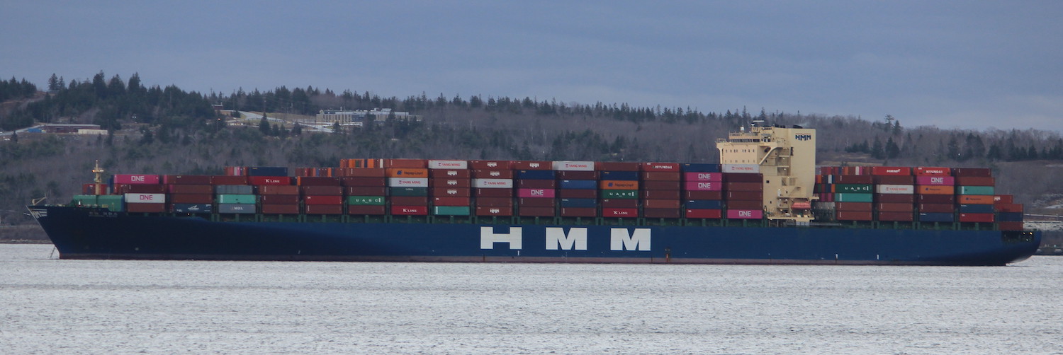
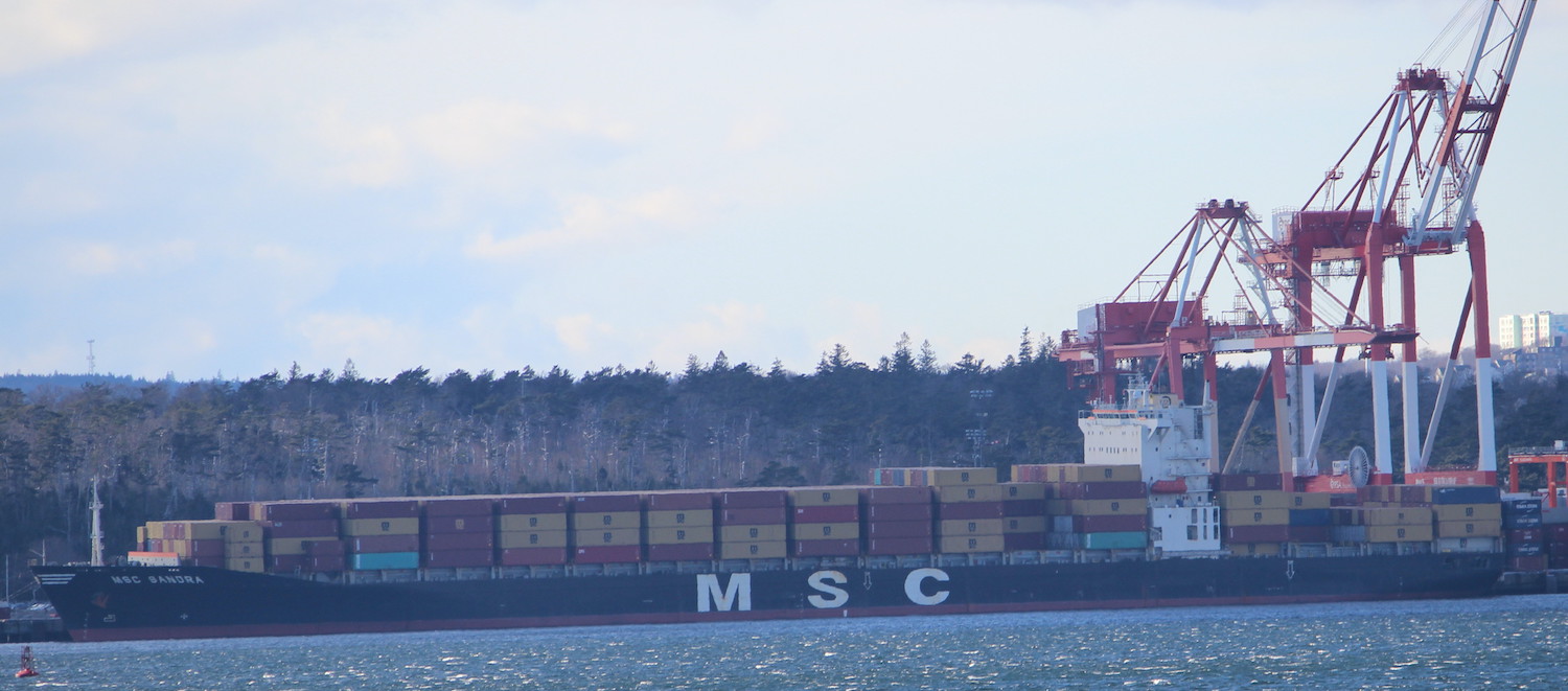
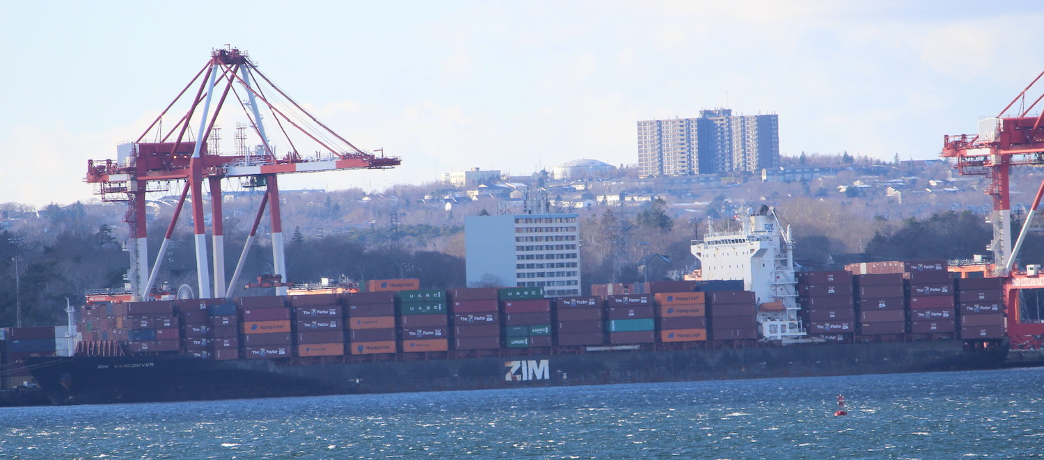
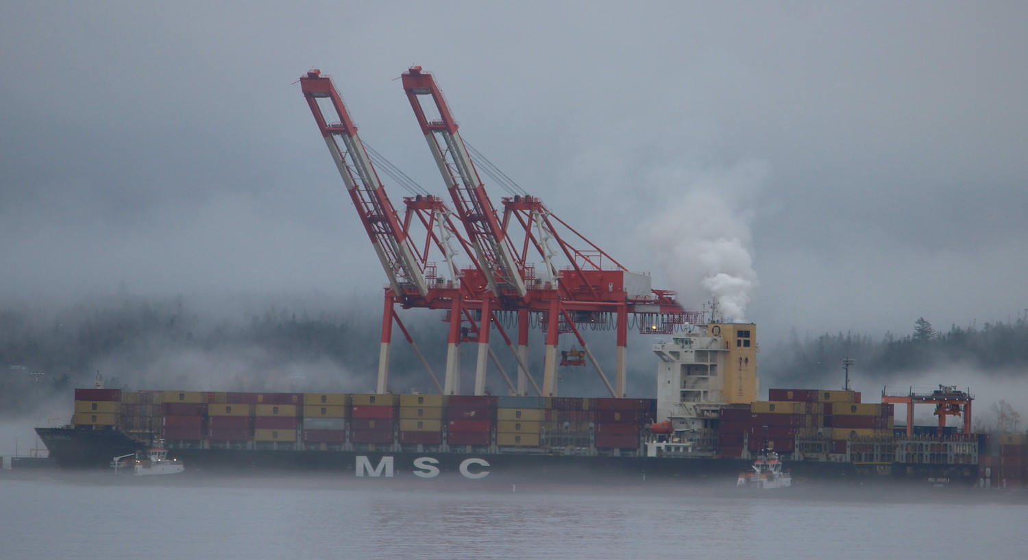
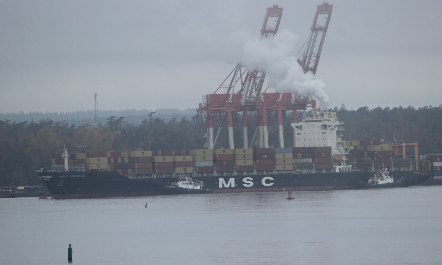
CMA-CGM Marco Polo set the Size record for largest containership to call, coming in at 16022teu. Threat of a Strike leg to the stockpiling of Road Salt on Pier 9

The Bluenose Turned 100, and Laser dinghy designer Bruce Kirby Died. CSS Acadia finally went to a shipyard for Hull work. The Bridge Commission released a report looking into options for a New Mackay bridge. The Seaport market moved to make way for PIER.
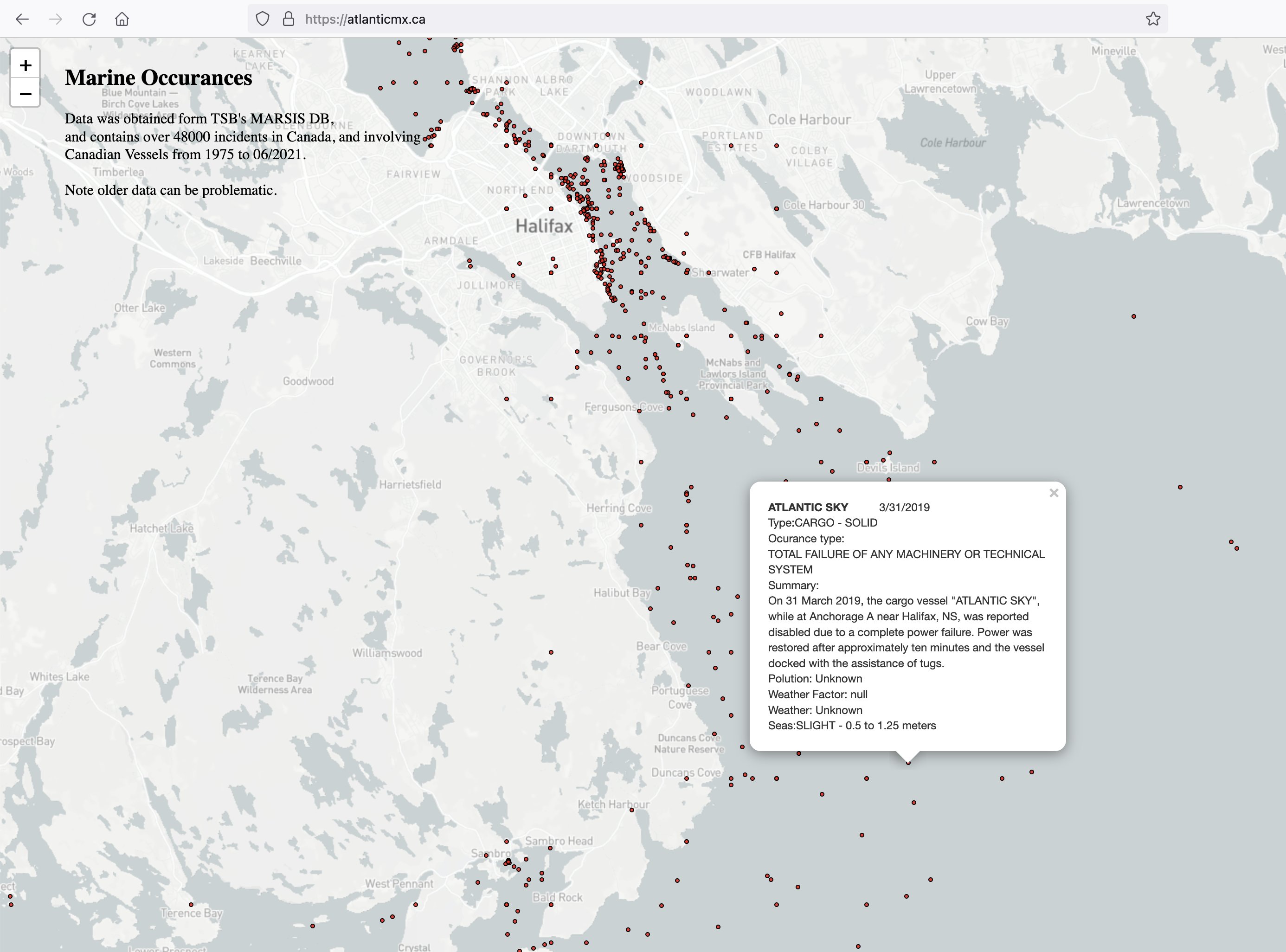
Incidents

Singelgracht was towed into port, Imedghassen and Giulia 1 had engine troubles, and took a rogue wave respectively. Hydra Mariner went agound. F/V Atlantic Destiny Caught fire and Sank. The Ever Given blocked the Suez, a float plane was forced to land short of YHZ in a lake. Zim Kingston Caught fire off victoria.

New Builds and Repairs

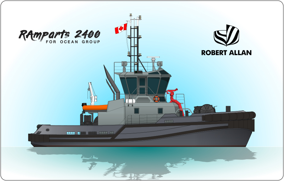
Mega blocks for Max Bernays were rolled out, and the ship launched. Margaret Brooke completed trials. The New Large naval tugs were named.

CG Lifeboats were transported to BC by Atlantic condor. CCGS Hudson had more work done on her, and CCGS Edward Cornwallis was renamed as part of her refit.

Siem Hanne was sold

Visiting Ships

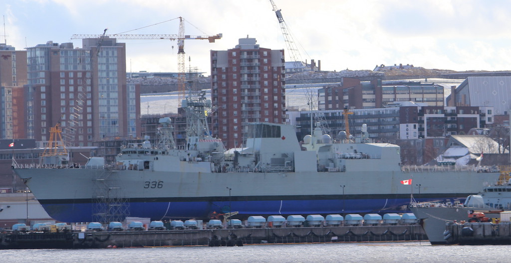
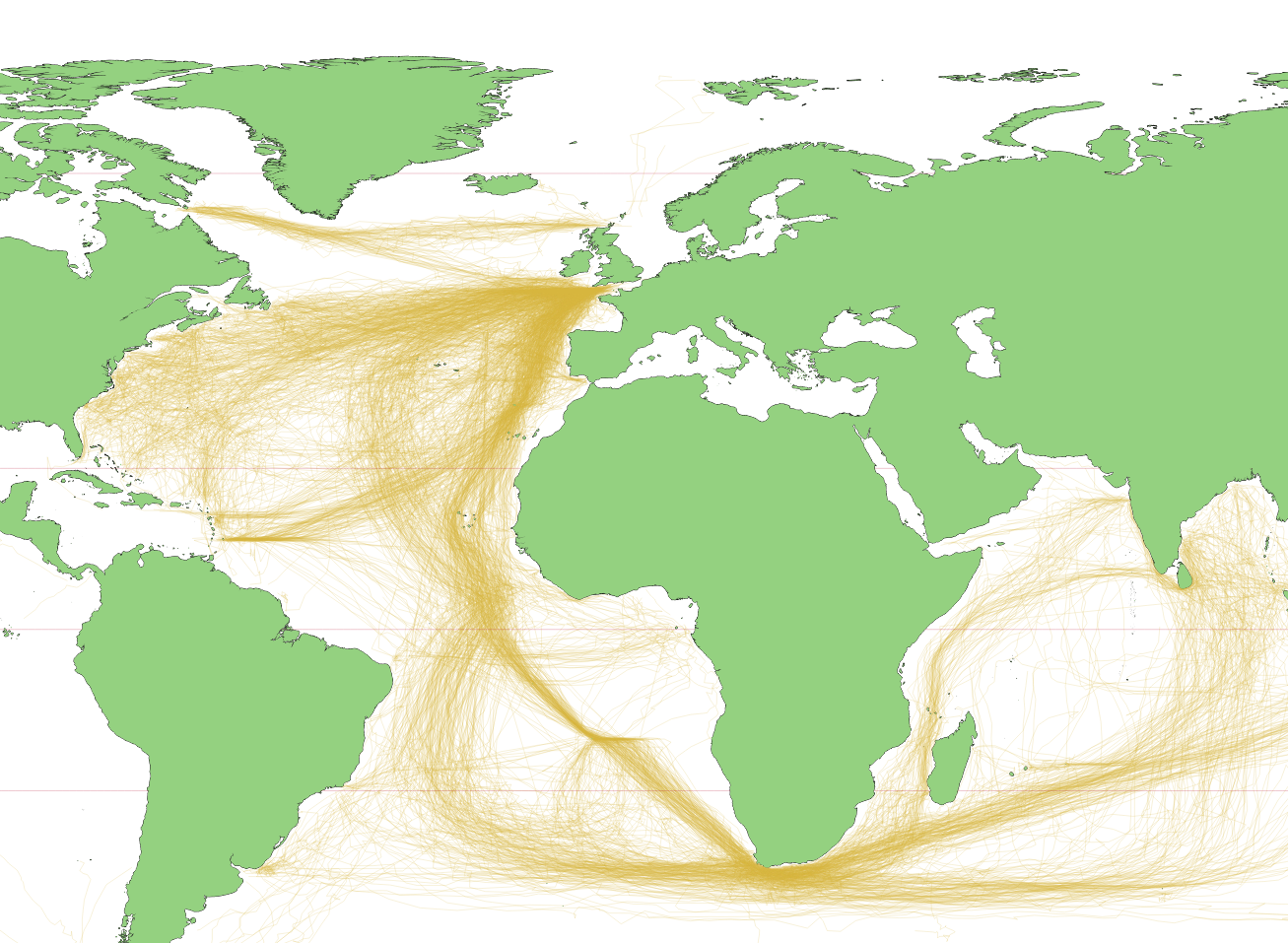
Exercise Cutlass Fury 21 took place, with FS Aquitaine joining the RCN. OP Nannok saw USCGC Escanaba and USCGC Richard Synder Participating.

Sable Island Pt2 – West light

West light is reasonable walking distance to Main Station. At this point its primarily occupied by BIO scientists studying the islands seal population, and the house is Known as BIO House now.

the light still exists, though it was decommissioned in the early 2000’s

A Universal Carrier lies on the south beach at west light. this tracked vehicle was surplus from the war and was used to move boats and other equipment on the island.

remains of Quonset huts that were used to store equipment and supplies. these were made of steel and are rusting in the sand. some of the contents of the huts lay around the area, including this bucket from an excavator.

(below) collapsed supports for a tank farm. These and the quonset huts are located on the north beach behind West light.

A non directional beacon was installed to aid in aircraft navigation. It failed, and lies abandoned.

Next to West light is Aliant House. the island briefly had cell service, when Aliant installed cellular equipment in an attempt to service the nearby oil platforms. It didn’t work, and the equipment removed. The tower is still in use, providing trunked communications on the island.

Anchor in the Basin.

NYK Constellation to anchor in the basin to wait out weather after spending Saturday at Fairview cove. NYK Constellation was built in 2007, and is rated for 4888TEU. It currently operating on the Alliances AL5 service. AL5 serves Northern Europe, making stops in Halifax and Port Everglades Florida, before stopping in South America,passing through the panama canal, stopping in LA, Seattle, Vancouver, and Oakland. NYK Constellation is currently on the return leg, heading back to Southampton.

Hyundai Faith arrived Saturday and took to anchor to wait out weather before moving to the terminal this morning. the ship is serving on the Alliances EC5 service. the ship was built in 2008, and is rated for 8566TEU.

Update on large naval tugs

Today the feds gave an update on the Large Naval tug project. this project will see 4 new tugs commissioned to replace the current fleet of Glen Tugs currently in use. The tugs are being built by Ocean Industries, at their Isle-aux-Coudres, Quebec shipyard.

The first two tugs (Haro and Barkerville) are scheduled to be delivered by sealift to the RCN’s Maritime Forces Pacific in Esquimalt, British Columbia, in 2022. The other two (Canso and Stella Maris) will sail to Maritime Forces Atlantic in Halifax, Nova Scotia, in 2023 and 2024.

The new tugs are named as follows.

  • Naval Large Tug #1 Haro – This name is taken from the Haro Strait, which connects the Straits of Georgia and Juan de Fuca in British Columbia, and is frequently transited by Royal Canadian Navy vessels proceeding north from Esquimalt, the home of our Pacific Fleet. 
  • Naval Large Tug #2 Barkerville – This name is taken from the Second World War-era Ville-class tug of the same name, which capsized and sank at the entrance of Bedwell Harbour, British Columbia, on December 17, 1945, while towing His Majesty’s Canadian Ship (HMCS) Hespeler to its mooring. 
  • Naval Large Tug #3 Canso – This name is taken from the Canso Strait separating Nova Scotia from Cape Breton Island. This is a region that figures prominently in Canada’s formative history. It also reflects the Royal Canadian Navy’s past with HMCS Canso, a minesweeper that served in the Pacific and Atlantic during the Second World War, and was on hand at D-Day.
  • Naval Large Tug #4 Stella Maris – This name was selected in recognition of the valiant actions of the crew of the tug that came to the assistance of the French munitions ship, SS Mont-Blanc on December 6, 1917, in Halifax Harbour. The tug crew tried to fight a fire on board Mont-Blanc, and recognizing that they had insufficient water to quench the fire, selflessly attempted to tow the burning vessel away from shore. The tug was severely damaged and 19 personnel on board perished when Mont-Blanc then erupted in the disaster known as the Halifax Explosion.  

Container ships.

(Above)MSC Sandra at pier 42 (Below) ZIM Vancouver at pier 41. Both ships are being worked by a single crane unit

Atlantic Sky is in the outer anchorage, and will be bound for Fairview Cove Monday Morning. Fairview Cove was occupied Sunday by Humen Bridge, still in its K-Line Livery but sailing for ONE as part of the Alliance.

HMCS Montreal on the Synchrolift

HMCS Montreal on the sychrolift at the dockyard for maintenance. I understand that there is not currently a dry facility in Halifax capable of maintaining the new AOPS, nor the Type 26 CSC. The Navys future fleet will necessitate some upgrades at the dockyard, and Halifax Shipyard.

Halifax Shipyard of course was able to accommodate panamax vessels until it retired and sold the NovaDock, which is now in service at International ship repair in Tampa Florida. That dock was owned by the province, and leased to the yard, untill it was quietly transferred to the shipyard as part of ships start here. Halifax Shipyards then sold it, claiming it was in disrepair.

30 Day Map Challenge Pt.3

This is the Third post covering days 21-30 of the 30 Day Map Challenge. The first 10 days were previously posted and the Middle 10 days were as well. As a reminder, these are the themes

Day 21 – Elevation
Lytton BC, in the Frasier valley. This was generated with CANVEC Transport data, BC Water course Data, and the terrain is from SRTM.

Day 22 – Boundaries
Atlantic Canada Lobster fishing areas. Each is defined in legislation, but there are no published shapefiles. Bathemetry is from Gebco.

Day 23 – Global Human Settlement Layer
GHSL is a data set of where people live. I treated it as urban light at night.

Day 24 – Historical
I made use of the CLIWOC dataset derived from ships logs to plot the main sea routes in use 1750-1850. These only show British ships, and you can see how the prevailing winds affected chosen routes, and the effects of the lack of a reliable way to determine longitude. the world data is from Natural Earth

Day 25 – Interactive
Day 1’s point map, but clickable and done in Leaflet.js. check it out at Atlanticmx.ca

Day 26 – Choropleth
Mapping 2016 census, dwellings per census block in Atlantic Canada. I used the Population and Dwelling table joined to the dissemination area shapefile.

Day 27 – Heatmap
this map hows the density of station responses from January – July 2020. there were 460 source points to generate this heat map.

Day 28 – The Earth is not Flat
Global shipping density displayed on a globe. You can see the Great circle route from the Mediterranean to the Panama Canal decently well. Ship Density Data is from the world bank, and the globe was done with a QGIS plugin

Day 29 – Null
For Null, i mapped Abandoned Mine openings in Pictou County. Holes are null, abandoned things are null, so abandoned holes are double Null. Of note, looking at the provinces data, there were 2 Tungsten mines in Lower Sackville, A gold mine in Fairview, and a Arsenic Mine in Waverly. Data Set from the Province of NS


Day 30 – MetaMapping day
Meta data is data about data, therefore a Meta Map is a map about maps. That is the purpose of this post. to organize the 30 days, and guide you through it.

30 Day Map Challenge – pt 2

This is the second post covering days 11-20 of the 30 Day Map Challenge. The first 10 days were previously posted. As a reminder, these are the themes

Day 11 – 3D
this is Sable Islands Bald dune from the north beach (looking east). The landcover is derived from 30m resolution landsat data using NDVI. ground is NS DEM, with generated Hillshade and contours.

Day 12 – Population
since the 2021 census data doesnt come out until the 17th, for day 12 i was forced to use 2016 data. I used the Population and Dwelling table joined to the dissemination area shapefile. you can really tell the suburban areas with high-rise development.

Day 13 – Natural Earth
the challenge for this map was to use data from natural earth. This map depicts the time zones of Atlantic Canada, and everything you see here was done with Natural Earth data.

Day 14 – Map with a new tool
I used tableau to tutorial a weather map based on a turtorial i found online. Tableau is annoying.

Day 15 – Map without a computer
Halifax harbour, free hand on paper

Day 16 – Urban/Rural
for this map I show the urban and rural firefighting water supplies. Each red dot represents a fire hydrant. Outside the dotted areas, firefighters are using a dry hydrant, or drawing directly from a body of water. Data is from Halifax Open Data Portal. Hydrant Dataset, Dry Hydrant dataset, fire response zones dataset

Day 17 – Land
The full island map from Day 11. Same Data, and everthing, just in a normal map view.

Day 18 – Water
A rough approximation of CHS Chart 4203 Pt.Pleasant to Black Point. Constructed with CHS NONNA 10m data. Navigational Markers were built from the List of Lights, Buoys and Fog signals publication. A how to was posted previously.

Day 19 – Island(s)
Georges island. Custom POI layer, otherwise 1m DEM and water polygons.

Day 20 – Movement
for day 20, i animated the points of ship movements in the harbour on Nov 14. Some of the Ferries are noticeably missing – They Carry a Class B AIS receiver, which uses a different data format, and so i dropped it. (A Bigger version also can be had here)

MSC Angela was making heaving smoke on Departure from PSA Halifax this afternoon. The ship had a thick stream of white smoke coming from its stack, which had dissipated somewhat by the time the ship got underway.

The ship sailed for Montreal, havign arrived form Valencia

Related Posts Plugin for WordPress, Blogger...