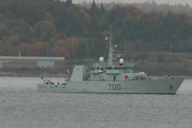
HMCS Kingston, Running in the Bedford Basin today. She appears to be running with the Route Survey package, with a towed sonar.
The Route Survey Package allows the ship to produce state of the art, high quality imagery of the ocean bottom with the use of multi-beam side scan sonar housed in a streamlined active body known as a towfish. This information is used for route mapping, detection and classification of mine-like objects and the optimization of ocean route planning.


I would treat it as similar to taking an employee satisfaction survey. Its template is about community contentment that could transcribe materials and elements inferenced from the resulting employee satisfaction survey.