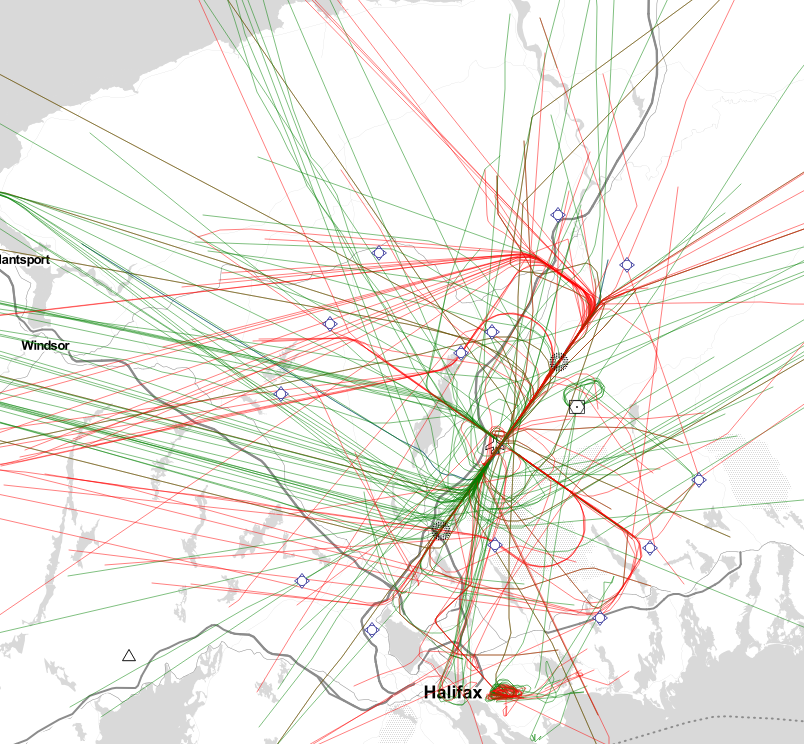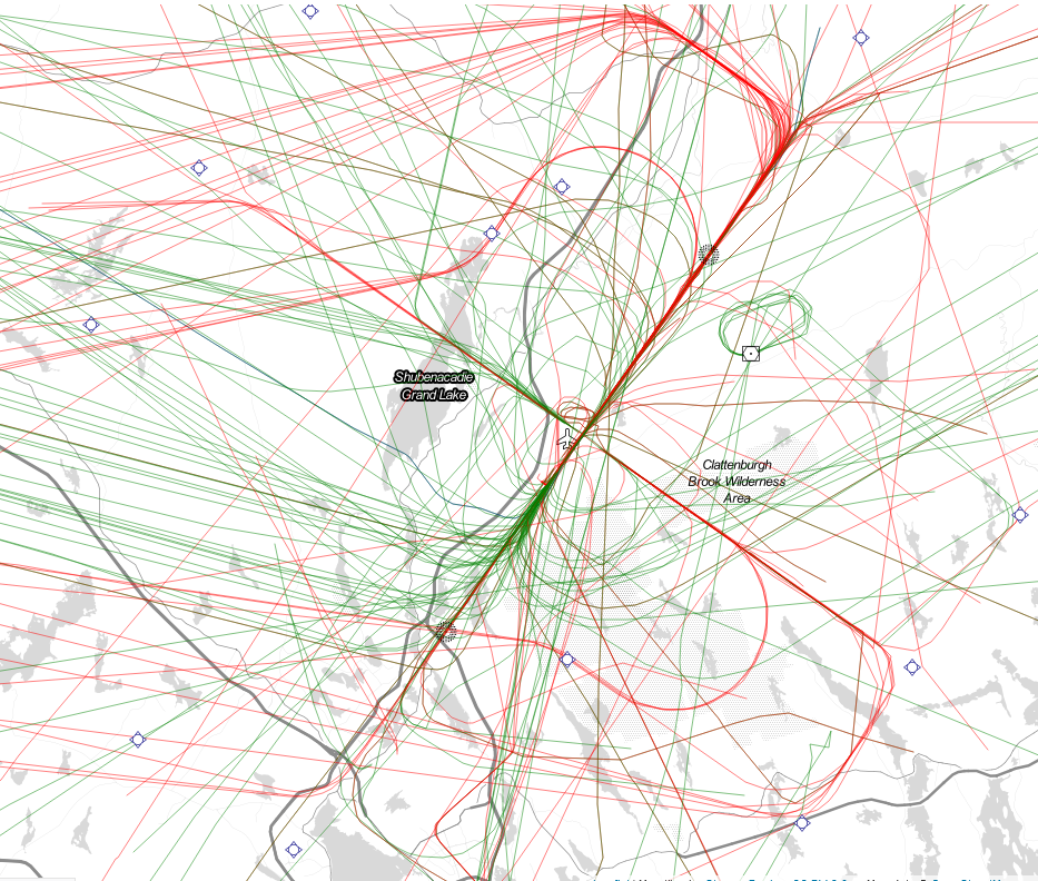
Having produced a couple of maps of ship traffic tracks in the harbour, I set out to do the same with the ADSB data i have been collecting. the result is Above, and is 5 days of Air traffic (arrivals in red, departures in green).
Shown are 325 flights. EHS, Cougar, and the coast Guard all conducted various training flights which are responsible for some of the weirder tracks visible. Lifeflights tracks to and from the hospitals are the tracks exiting the bottom center of the image.

You can see clear arrival tracks for Runway 23 and Runway 14 – runway 05 and runway 32 are less used.

I also pick up portions of international flights, flying great circle routes to Europe. those are shown in blue on this second map. – the range on these is much greater, as all these flights are happening above 20,000′

What is your ADS-B set up like? Do you have a post detailing it like you do for AIS set up?
not yet, but i will.