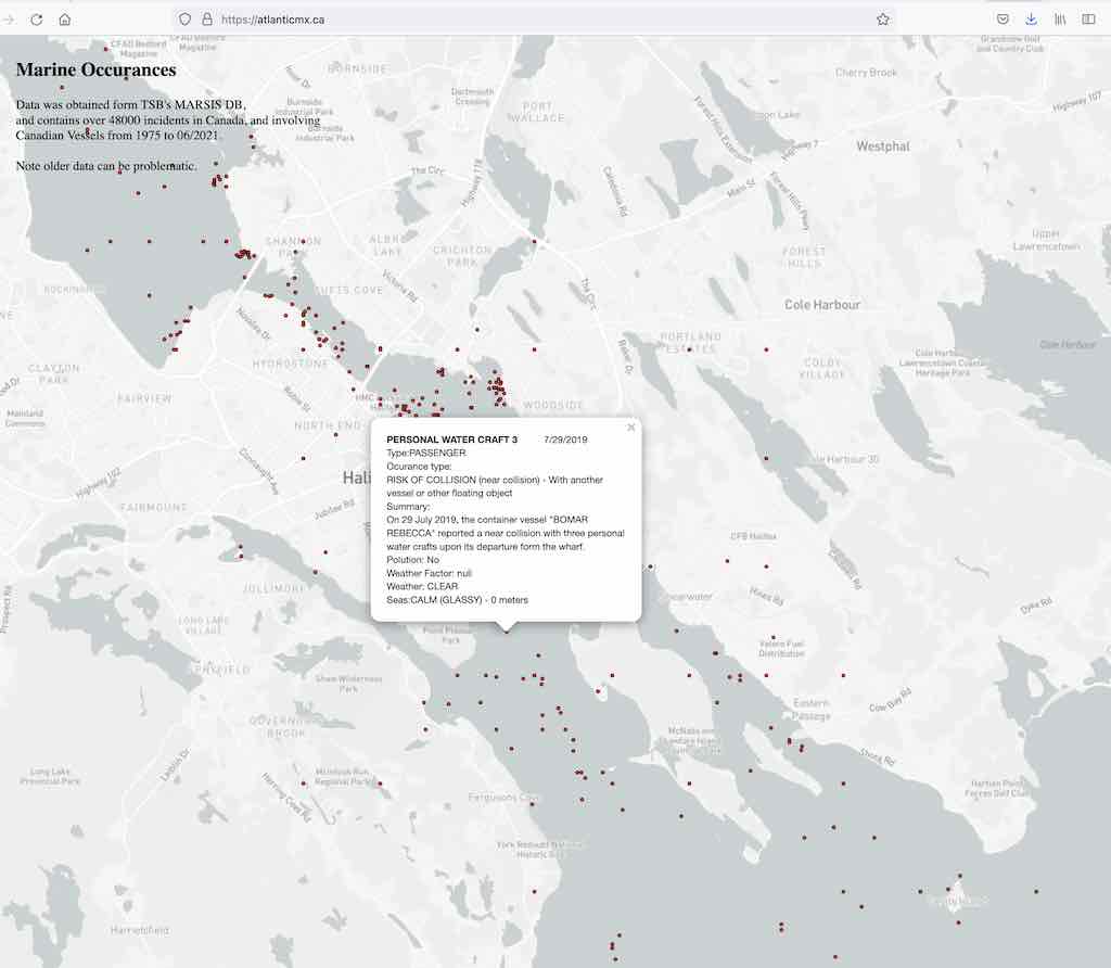
Over at AtlanticMX.ca I have assembled Marine Occurrence data, and mapped it.
The data was obtained from the Transportation Safety Board’s MARSIS Database,
and contains over 48000 incidents in Canada, and involving Canadian Vessels from 1975 to June 2021.
Each point represents a reported occurrence, and clicking it will provide basic details about an occurrence, and an occurrence narrative. Note older data can be problematic, and some locations are approximate.
The MARIS Database is a series of CSV files containing details on Marine occurrences. These files were joined, and a Json file generated which is used to render the Map Above. The files are updated on the 19th each month.
