So news broke today of a proposed 300million dollar Titanic Experience. The proposal is by Halifax business consultants Clarke Squires & Associates. Saltwire reported on it, based on the Linkedin Post Below.
Both the Saltwire article and the linkedin post were edited after they were posted. The original Saltwire article this morning indicated that the Titanic Experience would be located at the Port of Halifax, and included details about an aquarium, and that it would feature escape hatches. I assume both have been toned down since they were initially posted.
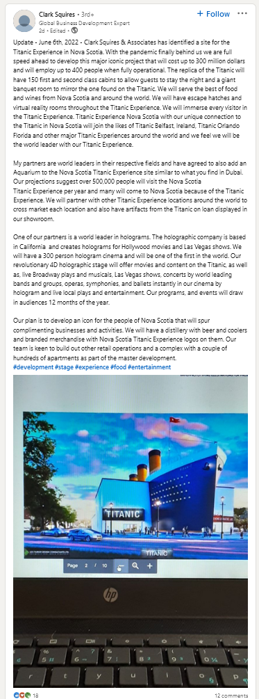
My Initial Reaction was oh god, that’s horrible. The building looks tacky, like an lightweight industrial building with ship bits attached – think a smaller version of the Assembly hall at Halifax Shipyards. because its not clear its the Titanic, the name needs to be plastered on the Awning over the front door.
Even the concept is ugh. 150 cabins. and escape hatches? Look the titanic was luxurious by ocean transport standards of the day, but compared to a modern cruise ship its tiny – smaller then the modern day Holland America lines callers to Halifax. I get the appeal of a reproduction of the Titanic’s banquet hall, but then just do that and run a banquet facility.
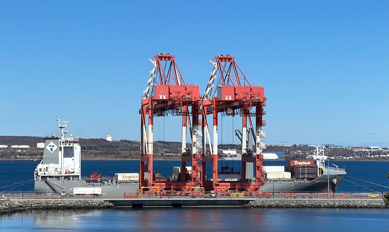
I reached out to the Port Authority – they know nothing about this proposal, and are not providing land. Comments in the Linked in post say location is under NDA, but in an email, Clark Squires indicated “it will be hopefully close to water at or close to Halifax Harbor” that says to me next to a lake in a business park,which is backed up by the architecture. The linkedin post suggests this is part of a larger development, likely ruling out a central location.
Halifax has many Titanic stories. they are currently well told, in a respectful and dignified manner. Halifax is the final resting place for victims of the disaster who were recovered. You can visit there graves at Fairview lawn cemetery. the Cable ships that were sent out to recover them tied up at the Cable Wharf. what is now the 5 fisherman, was the J.A Snow Mortuary, where the bodies were taken. Barnstead lane is named for the corner who pioneered techniques for forensic identification of victims of mass casualty incidents, as he worked to identify the recovered bodies. The Titanic Disaster established the International Ice Patrol. It led to what is now the SOLAS Convention. It directly made shipping safer.
Lots of folks try to make money off the Titanic. A Chinese company is building a sailing replica of the ship you will be able to book a cruise on. RMS Titanic Inc is a thing, and has recovered artifacts from the ship and operates an experience in Orlando Florida of all places.
This proposal just throws kitsch at it, and is all over the place – Hotel, distillery holographic theatre, banquet hall. The aquarium, is kinda garish if you stop and think about it. The proposal looks like an attempt to throw a bunch of cool sounding stuff at a wall and see what sticks. its perhaps surprising that the bow isn’t rigged up for the movie shot. they could probably sell alot of $20 photos.
The proposal is all over the place, and its hard to take seriously. Clark Squires bio on the website is full of buzzwords, and is not particularly readable or understandable also, if your going to pitch a 300million development project, how about not having a gmail address as your primary email contact. How can anyone trust you with details on a 300million dollar project, when you cant even properly brand your email, or pay someone to do it for you.
If we want to celebrate our maritime history, and we should, then this is not the project. This is tourist tackiness that belongs at Niagara Falls, or in Orlando. Battle of the Atlantic place would actually be a benefit to the city, and is 100million less to build.


 (@halifaxpilots)